Dr James Whitehead, 25.04.2025
On April 23rd, we established the first University of Sussex Nature Sense monitoring stations at the Gravetye Estate for the William Robinson Gravetye Charity. At these stations, we will collect a wide variety of data to document the state of nature, how nature benefits people, and how it changes over time in response to land management and climate change. These are the first stations in what will become a regional network, helping to inform how land management can meet the diverse needs of people and nature.
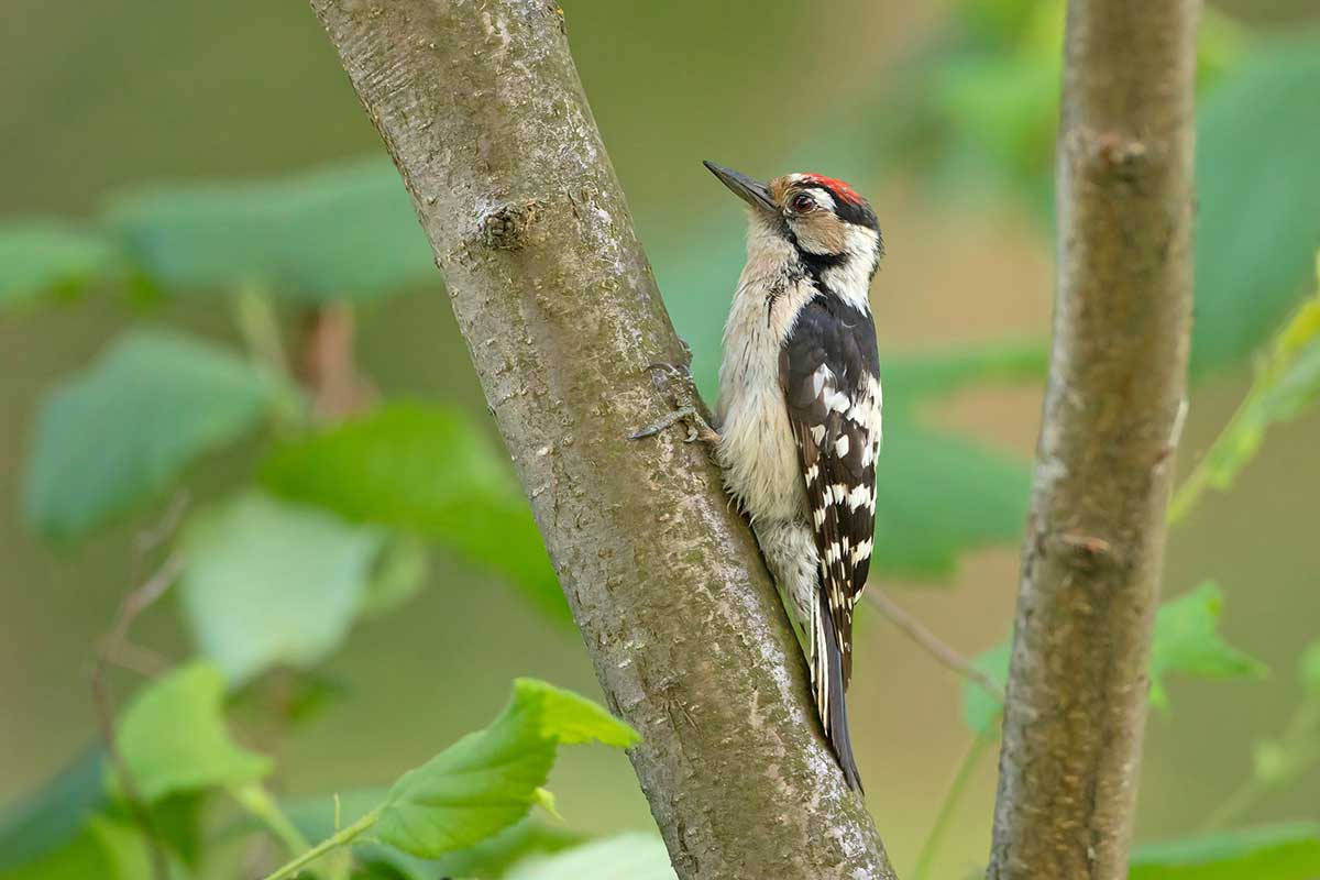
The monitoring stations allow us to deploy camera traps and acoustic recording equipment, with protection from cattle who otherwise love to use them as scratching posts—a problem we’ve encountered in other projects! By analysing data from these monitoring stations, we’ll be able to assess the species and activity of local mammals, birds, and bats. Alongside the camera traps and acoustic monitoring, we’ll also survey plants, butterflies, and earthworms. Monitoring these different groups of species helps us assess how land management impacts species with various needs and different roles in the ecosystem, from pollination to soil enrichment.
For both birds and bats, we’re passively recording the sounds of nature near our monitoring sites and using AI software, with verification, to identify species by their calls and songs. The large datasets we’ll produce would traditionally have been practically impossible to analyse effectively. However, thanks to recent technological advances, we can analyse data more efficiently.
We’re also mapping the area around the monitoring station with a high-precision drone. By taking thousands of photographs in a grid over the site, we can stitch them together to create a 3D model of the habitat below. To peek under the canopy and obtain higher-resolution measurements of grass and undergrowth, we are using LiDAR scanning (essentially laser mapping). This involves walking steadily through the study site while holding a device—resembling a spinning egg-timer—at arm’s length. It’s simple enough in open fields but quite the workout in dense woodland! Combining the information from the drone and LiDAR, we can get a picture of the above-ground biomass of the vegetation. By repeating the survey annually, we can monitor how it changes over time, giving us insight into how much carbon is being captured by different habitats. We’ll also take soil samples to help calculate the overall carbon sequestration at Gravetye.
Speaking of below-ground processes, we’ll study the abundance and diversity of earthworms on the estate. Often overlooked, these humble organisms mix and aerate the soil, lock away carbon-rich organic matter, and promote nutrient cycling. By recording their communities, we gain valuable insights into soil health and functionality. We’re going to use the same methodology as the Earthworm Watch citizen science project, so it is something anyone can have a go at: https://www.earthwormsoc.org.uk/earthwormwatch. We’ll also investigate how quickly water infiltrates into the ground at Gravetye. This process affects flood and runoff risk, as well as how fast nutrients leach from the soil—important factors for both agriculture and ecology.
In the coming months, the team will be around the Gravetye Estate with butterfly nets in hand. Butterflies, with their vivid colours and delicate flight, captivate many people—and they also serve as excellent indicators of ecosystem health. During our visit to Gravetye on Tuesday, we spotted an abundance of cuckoo flowers in bloom. That’s a promising sign we’ll see plenty of Orange Tip butterflies later in the season, as their caterpillars feed on this plant.
Last but by no means least, we’ll collect information on what is produced from the land, from food to timber. By looking at all this information together, we can start to build a picture of how different land use and management benefit people and nature.
If you would like to learn more about what we’re up to at Nature Sense, please get in touch with us via nature.sense@sussex.ac.uk.